
Scanned by
John Osborne
Scan date
Notes
Cropped, sized, and prepared for use by John Osborne, Dickinson College, November 11, 2009.
Image type
map
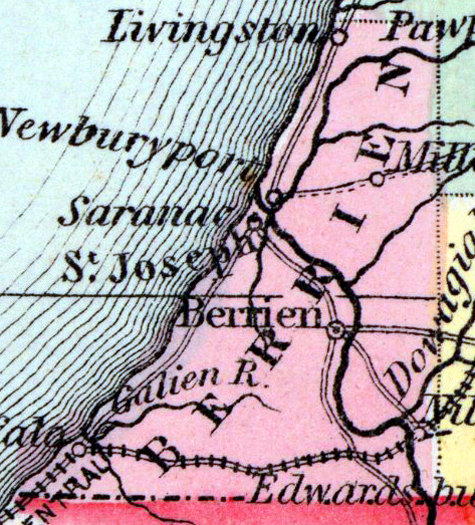
Original caption
A New Map of Michigan with canals, roads, and distances
Source citation
Mitchell's New Universal Atlas.... (Philadelphia: Charles Desilver, 1857), 30.
Source note
Cropped from the larger original image of the state of Michigan, available as a zoomable image here.